Walks in Sunderland: Coast, River and Countryside Routes
Walks in and around Sunderland, from the Roker to Seaburn coast path and the River Wear to Penshaw Monument, Tunstall Hills, Rainton Meadows and the end of the C2C.
Sunderland is a good base for walking. The city sits where the River Wear meets the North Sea, so a single afternoon can take in a promenade, a riverside path and a hilltop with views back over the coast. This guide covers walks of different lengths, most of which can be reached by bus or Metro. For the parks themselves, see our guide to parks and green spaces in Sunderland.
Roker to Seaburn and Whitburn
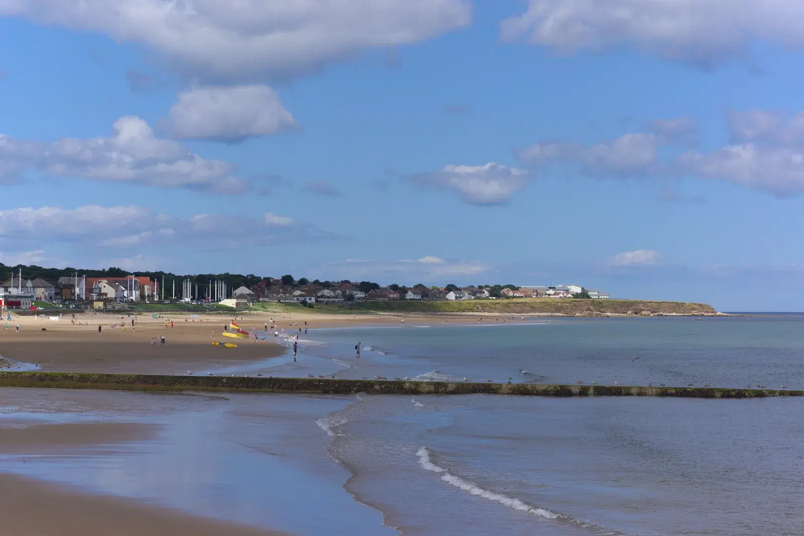
A popular walk in the city follows the seafront north from Roker Pier and its lighthouse. The promenade passes the Cat and Dog Steps, the rock arch known as Holey Rock and the beach at Seaburn, with cafes and pubs along the way. Beyond Seaburn the path continues north into South Tyneside towards Whitburn, and walkers with more time can carry on along the coast towards Souter Lighthouse. The route is flat and surfaced for most of its length, and you can return by bus or from Seaburn Metro station. Our Roker and Seaburn seafront guide lists places to stop.
Best for: An easy, mostly flat walk with sea views and somewhere to eat at either end.
The River Wear and St Peter's
From the city centre, the Keel Crossing footbridge, opened in October 2025, links Keel Square with the north bank of the Wear near the Stadium of Light. From there a riverside path runs east past the university's St Peter's campus to St Peter's Church, founded in 674 and one of the oldest churches in England. Continue towards the marina and the river mouth to join the coast at Roker.
Best for: A short city walk that combines new bridges, river views and early medieval history.
The end of the C2C
The C2C cycle route, opened in 1994, runs about 140 miles from the Cumbrian coast to the North Sea, and Sunderland is one of its two eastern finishes. The final section follows the former Consett and Sunderland Railway Path, then the riverside and marina, before ending at Roker beach. Walkers can use the railway path for a long, level, traffic-free route in from the west of the city, sharing it with cyclists. Look out for public art along the route, including Alison Wilding's sculpture Ambit in the river.
Best for: A long, level route for walkers who want to cover distance away from roads.
Penshaw Monument and the Lambton Worm walk
Penshaw Monument, cared for by the National Trust, stands on a hill above the A183 between Sunderland and Washington. The climb to the top is short but steep, with steps; a gentler path starts from the gate to the left of the main entrance. The National Trust publishes a 2.6 mile (4.2 km) circular route, the Lambton Worm walk, which links the monument with the surrounding countryside and the legend of the worm. Parking at the foot of the hill is limited, and Herrington Country Park next door has more spaces. See our guide to Penshaw Monument and Herrington Country Park.
Best for: A short climb with views across Wearside, or a longer loop with a story attached.
James Steel Park and the Wear at Washington
On the south side of Washington, James Steel Park follows the River Wear through a semi-wild green corridor near Fatfield, Penshaw and Shiney Row. Riverside paths follow the water, and a footbridge crosses the Wear. It combines well with Penshaw Monument for a longer day out. Across the river, WWT Washington Wetland Centre has its own trails and hides, with a separate admission charge; dogs are not allowed there except assistance dogs.
Best for: Riverside walking without crowds, close to Washington.
Tunstall Hills
Tunstall Hills, on the southern edge of the city near Ryhope, is a Local Nature Reserve. The paths climb two small limestone hills, Green Hill and Rocky Hill, with views over Sunderland, the coast and the countryside to the south. The grassland is part of a Site of Special Scientific Interest and has orchids in early summer. Paths can be uneven and muddy after rain.
Best for: A short hill walk with wide views, good for an hour or two.
Rainton Meadows
Rainton Meadows, off the A690 near Houghton-le-Spring, is run by Durham Wildlife Trust on the site of a former opencast coal mine restored in 1996. Trails link wetlands, meadows and woodland, with bird hides along the way and accessible paths. The visitor centre and coffee shop are open from 10am to 4pm daily, and the vehicle gates are open from 9.30am to 4.30pm. Dogs are welcome on a lead.
Best for: Gentle trails with birdwatching and a cafe at the end.
Hylton Dene
In the north of the city, Hylton Dene is a wooded valley beside Hylton Castle in Castletown. Paths run through the dene and around the castle grounds, and the Friends of Hylton Dene group helps look after the area. It is a short walk, suitable for families.
Best for: A woodland walk with a medieval castle at the start.
Before you set out
Coastal paths can be exposed in wind, and the riverside and dene paths can be muddy in winter. Check bus times for linear walks, and wear suitable footwear for Penshaw and Tunstall Hills. For more ideas, see our outdoors hub.
Know a place we have missed? Get in touch.
Local businesses mentioned
Never miss what’s on
Join the weekly SunderlandCity.live digest — the best events, news and local tips, straight to your inbox. One email a week.
What's On
Witches, Fairies and Satan: Folk Tales of County Durham
1:00 PM · Arts Centre Washington, Biddick Lane, Fatfield, Washington, NE38 8AB
Frozen Assets
7:30 PM · Arts Centre Washington, Biddick Lane, Fatfield, Washington, NE38 8AB
Spotlight: Washington Open Exhibition 2026
See website · Arts Centre Washington, Biddick Lane, Fatfield, Washington, NE38 8AB